

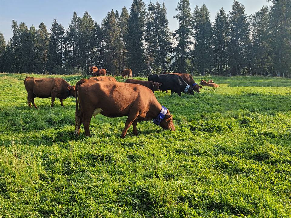
Ranchers in Kansas’s Flint Hills are describing GPS and satellite-backed smart collars used for virtual fencing and herd location, often paired with USDA Rangeland Analysis Platform forage maps, as a practical way to save labor and capital on family operations. The Outdoor Wire feature frames the shift as “fences without wire”: knowing where animals are and how pastures are being used without stringing new physical fence across every acre.
Producers in the piece point to satellite connectivity as the difference-maker where cell coverage is thin, and to forage data that helps match stocking and moves to what the range can support. The story is about industry tooling already in use on commercial ranches—not a product build or partner announcement.
Why it matters for producers
Satellite-backed herd visibility is moving from novelty to everyday ranch tooling. Knowing where animals are, and how pastures are used, supports welfare and grazing decisions when labor is scarce and country is big.

